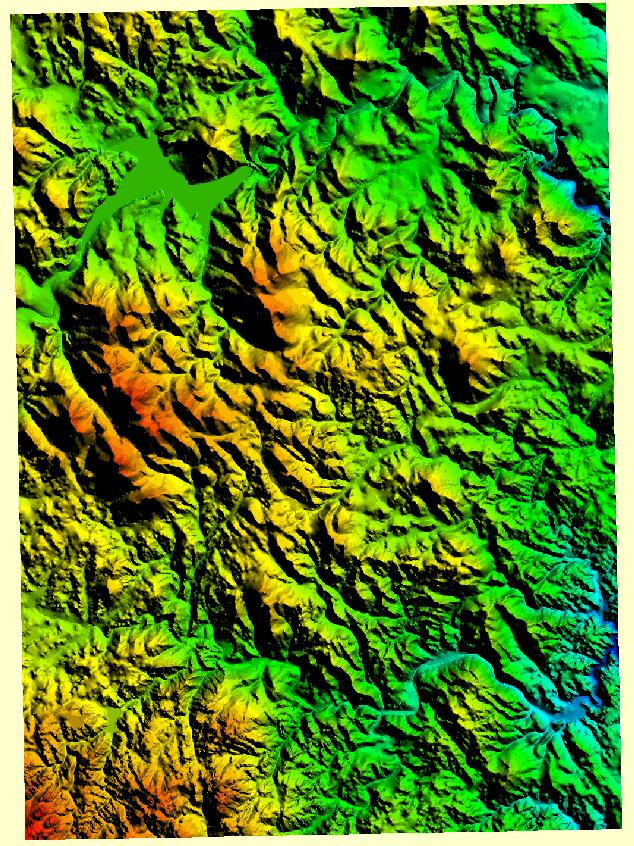
A DEM is a 3d map of the terrain of an area using data obtained by LIDAR, Doppler radar etc.. This map conveys the land around Sturgis, South Dakota. This map is considered a DEM because of its use of GIS technology to obtain data that was formed together to make a 3d image.
No comments:
Post a Comment